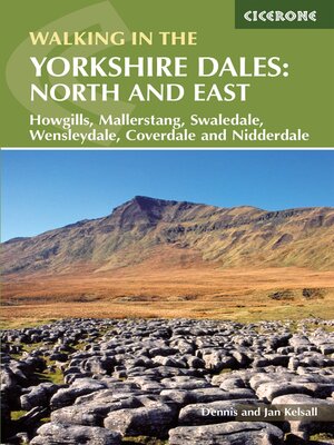
Walking in the Yorkshire Dales
ebook ∣ North and East: Howgills, Mallerstang, Swaledale, Wensleydale, Coverdale and Nidderdale
By Dennis Kelsall

Sign up to save your library
With an OverDrive account, you can save your favorite libraries for at-a-glance information about availability. Find out more about OverDrive accounts.
Find this title in Libby, the library reading app by OverDrive.


Search for a digital library with this title
Title found at these libraries:
| Loading... |
A guidebook to 43 walks in the north and east of the Yorkshire Dales, covering the Howgills, Mallerstang, Swaledale, Wensleydale and Nidderdale. Most routes are easy or moderate, although there are a handful of more demanding outings crossing rugged upland terrain.
The walks, all easily accessible from Kirkby Stephen, Sedburgh, Pateley Bridge and Aysgarth, range from 5 to 19km (3–12 miles) and can be enjoyed in 2–5 hours. Several walks can be combined with another to create a longer route.


