

Sign up to save your library
With an OverDrive account, you can save your favorite libraries for at-a-glance information about availability. Find out more about OverDrive accounts.
Share

Find this title in Libby, the library reading app by OverDrive.


Search for a digital library with this title
Title found at these libraries:
| Loading... |
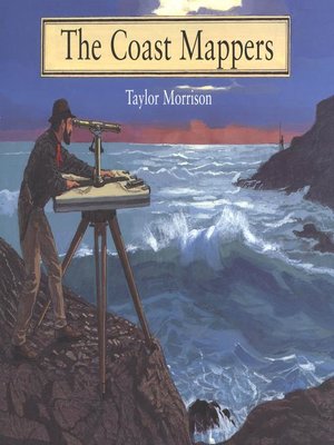
In the mid-nineteenth century, little was known of the west coast and waterways. The ships that sailed those waters did so at a considerable risk, sometimes depending on only a school atlas to navigate and all too often crashing into the rocks. So the U.S. Coast Survey, whose purpose was to map every mile of American shoreline, commissioned George Davidson to chart all of the major points on the coast and all of the waterways in between. In this beautifully illustrated book, Taylor Morrison chronicles the challenges and adventures Davidson and his team faced and the methods they used to accomplish this monumental, and essential, task.
Share


